 Graded cycling, kayaking and cave trips in Vietnam, Laos and Cambodia
Plan · Seasons
When to go, region by region
There is no month when every region is dry and cool. This chart scores each month for riding and paddling in the five regions we use, built from World Meteorological Organization climate normals.
The chart
● ideal · ◐ good · ○ wet or very hot, not recommended for riding and paddling. Scores are our judgement from the rainfall and temperature normals below.
Scores combine rain and heat. A month can be dry and still score ○ for riding, and a grey, drizzly month can score ◐ because it rides well even if the views are poor.
The numbers behind it
| Station | Driest month | Wettest month | Hottest month, average maximum | Normals period |
|---|---|---|---|---|
| Hai Phong (for Cat Ba) | February, 21 mm | August, 361 mm | June, 32.5 °C | 1991 – 2020 |
| Ha Tinh (for Phong Nha) | February, 54 mm | October, 742 mm | June, 34.8 °C | 1991 – 2020 |
| Ho Chi Minh City | February, 8 mm | September, 273 mm | May, 34.9 °C | 1991 – 2020 |
| Ca Mau (lower delta) | February, 18 mm | October, 369 mm | April, 33.7 °C | 1991 – 2020 |
| Siem Reap | February, 3.8 mm | September, 305.2 mm | May, 35.3 °C | 1982 – 2024 |
| Phnom Penh | February, 3.3 mm | September, 252.9 mm | April, 34.9 °C | 1982 – 2024 |
| Pakse (for Bolaven) | January, 1.8 mm | August, 467.5 mm | April, 35.0 °C | 1951 – 2000 |
| Stung Treng (for 4000 Islands) | January, 2.0 mm | September, 333.3 mm | March, 35.5 °C | 1982 – 2024 |
Ha Tinh is about 150 km north of Phong Nha and Hai Phong is on the mainland opposite Cat Ba; they are the nearest stations with published normals. Pakse is on the river below the Bolaven Plateau, which is cooler.
Sources: WMO World Weather Information Service — Hai Phong; WMO World Weather Information Service — Ha Tinh; WMO World Weather Information Service — Ho Chi Minh City; WMO World Weather Information Service — Ca Mau; WMO World Weather Information Service — Siem Reap; WMO World Weather Information Service — Phnom Penh; WMO World Weather Information Service — Pakse; WMO World Weather Information Service — Stung Treng · checked .
Storms and floods
Typhoon season on Vietnam's eastern coast runs from May to November. The rainy season is June to September in the north and south and October to December in central Vietnam, and flooding is common in October and November in central Vietnam and the Mekong Delta.
On the water this means storm bans: boats do not sail when the harbour authority says no. On land it means flooded lanes and closed cave visits. Every tour of five days or more keeps a weather reserve day for this reason. The safety page explains how it is used.
Sources: UK FCDO — Vietnam travel advice, safety and security · checked .
Month by month: where to go
| Months | Go to | Avoid |
|---|---|---|
| January | Mekong Delta, Cambodia, southern Laos | Phong Nha for riding (cool drizzle) |
| February – March | Everywhere; Cat Ba is grey but rides well | — |
| April | Lan Ha Bay, Phong Nha; south only if you handle heat | Long midday rides in the south |
| May | Phong Nha early in the month | Mekong Delta, Cambodia, Laos (rains begin) |
| June – August | Phong Nha with dawn starts, caves | Lan Ha Bay kayaking, Mekong, Cambodia, Laos |
| September | Nowhere ideal; short trips with flexible dates | Phong Nha, Lan Ha Bay |
| October – November | Lan Ha Bay and Cat Ba; Laos and Cambodia from November | Phong Nha, Mekong Delta (floods) |
| December | Mekong Delta, Cambodia, southern Laos | Phong Nha |
Matching a tour to your month
- Lan Ha Bay & Cat Ba: April, October, November; workable December to March.
- Phong Nha & the Ho Chi Minh Road: February to May.
- Mekong Delta to Angkor: December to March.
- Bolaven & 4000 Islands: November to February.
- Vietnam & Cambodia Multi-Sport: February to April.
The region guides on the destinations page go into each place's seasons in more detail.
Common questions
Questions travellers ask most
Is the rainy season a bad time for an active trip?
Not always. In the south much of the rain falls in afternoon storms, and mornings can ride well. The problem months are the ones with storms and floods, which close boats, caves and roads.
Which single month suits the most regions?
February and March. Every region on our chart scores ideal or good.
Where should I go in July?
Phong Nha, with dawn starts and time in the caves during the heat of the day. The other regions are in their wet season.
Where do your scores come from?
From WMO climate normals for the nearest stations, which we read and score for riding and paddling. The scores are our judgement; the rainfall and temperature figures are WMO's.
Related
Read next

Destinations
Destinations
Guides to the four regions our tours ride and paddle through.
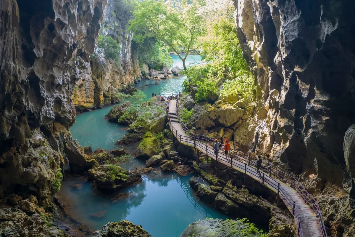
View this journey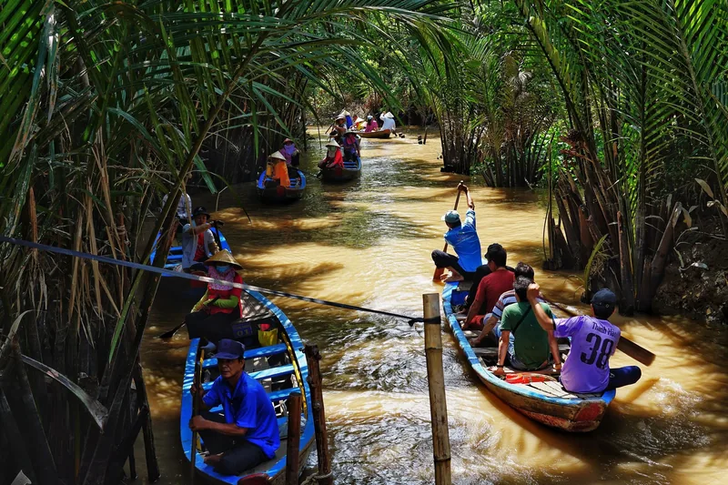
Tours
Tours
All five graded tours, with days, grade and hardest day side by side.
View this journey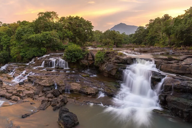
Plan · Grades
Difficulty grades
The four-step grade scale behind every tour, with a self-check you can do at home.
View this journey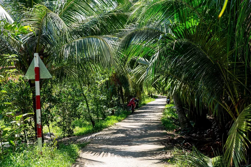
Plan · Safety
Safety
The rules we run every tour by: van, helmets, buoyancy aids, heat, weather and insurance.
View this journey
Destinations · Northern Vietnam
Lan Ha Bay & Cat Ba
Sea kayaking among limestone islands and short hilly rides on Cat Ba.
View this journey
Destinations · Southern Vietnam
Mekong Delta
Flat canal-lane cycling, floating markets and the river route to Phnom Penh.
View this journey
Start planning
Tell us about the trip you have in mind
Dates, party size and the grade you are comfortable with are enough to start. You get a draft route with daily distances and a quote for that route, not a brochure.