 Graded cycling, kayaking and cave trips in Vietnam, Laos and Cambodia
Destinations · Southern Laos
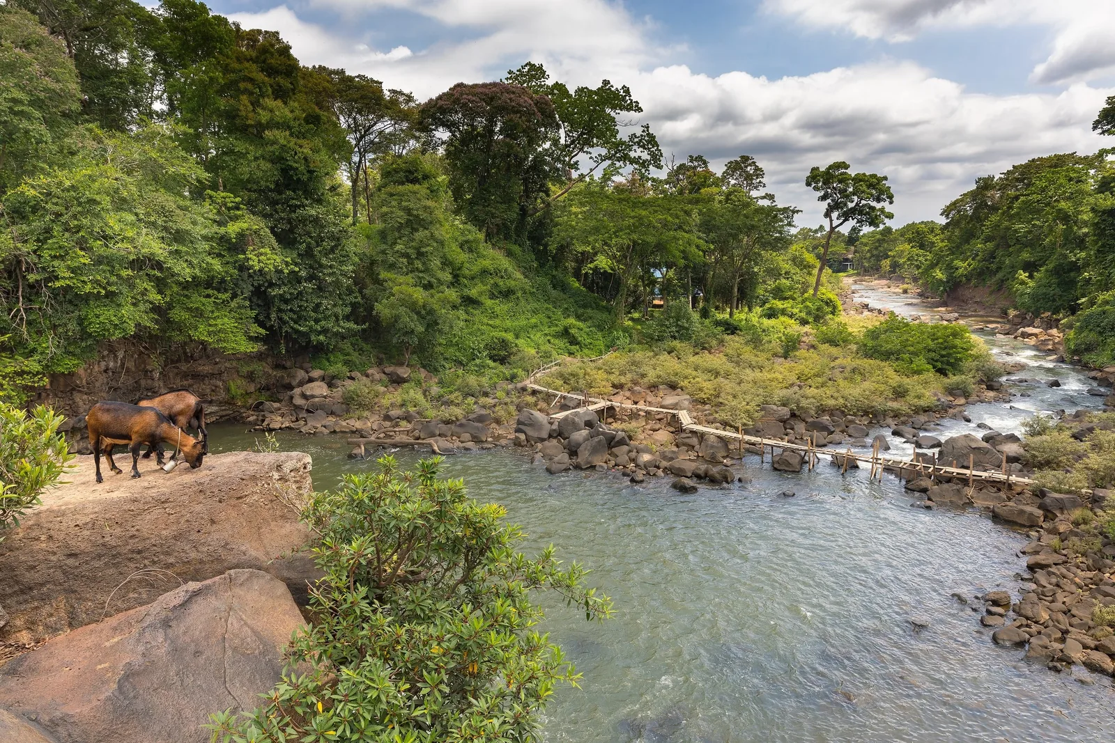
The Bolaven Plateau, and the river below it
A coffee plateau at 1,000 to 1,350 m above the Mekong plain, with waterfalls dropping off its edges, and the 4000 Islands a day's ride and drive to the south.
At a glance
What the plateau actually is
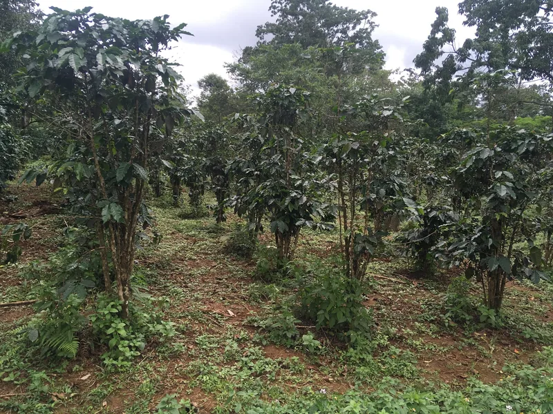
The Bolaven Plateau is farmland at altitude: coffee, vegetables and forest on rolling ground between about 1,000 and 1,350 m. It is not a mountain range and the riding up there is rolling rather than steep. The hard part is getting up there from Pakse on the river; on our tours a van does that climb unless you ask to ride it.
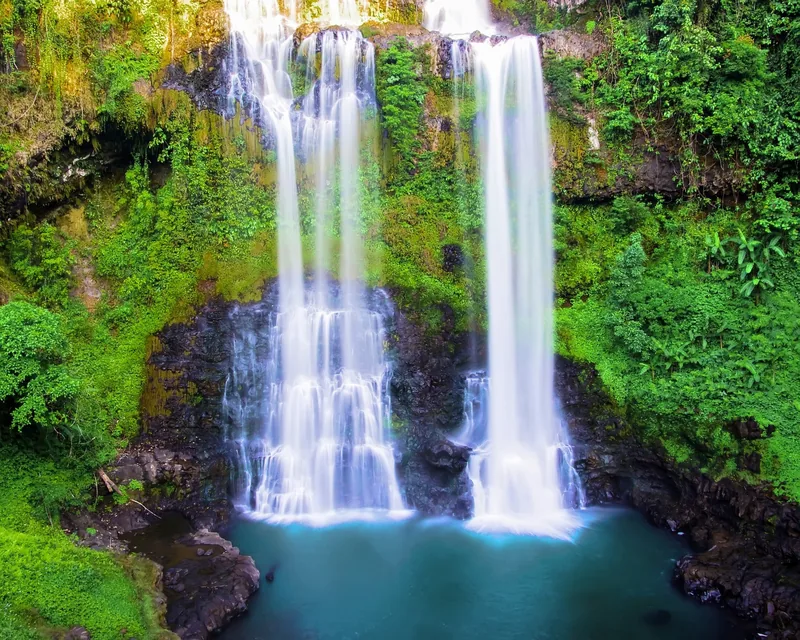
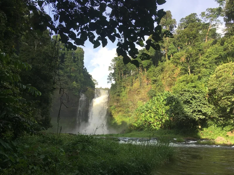
The plateau's edges are where the rivers fall off. Tad Fane drops about 120 m in two streams into a forested gorge and is seen from viewpoints across it. Tad Yuang is a twin fall of about 40 m. Neither is remote, and Tad Fane charges a small entrance fee.
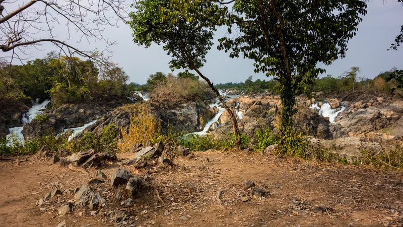
Below, the Mekong runs south past the ruins of Vat Phou, which UNESCO dates from the 5th to the 15th century, to Si Phan Don, the 4000 Islands, where the river spreads into channels and drops over the rapids of Khone Phapheng near the Cambodian border.
Sources: Discover Laos Today — Paksong and the Bolaven Plateau; Tourism Laos — waterfalls; Travelfish — Tad Fane visitor guide; UNESCO World Heritage Centre — Vat Phou, Champasak · checked .
Riding on the plateau
Plateau roads roll rather than climb: long gentle rises, short descents, and the occasional steeper pitch where a road crosses a stream valley. Side roads to farms and viewpoints are often red dirt, firm and fast when dry and slippery after rain, which is one reason the dry months matter here.
Traffic is light away from the main road between Pakse and Paksong. Mornings from December to February can feel cool at the start, so a light layer comes in the van. The long climb up from the river plain is the only part we usually drive; riders who want it can ride it as a Grade 4 extra.
How many nights
Two nights on the plateau is the minimum for one full day of riding between farms and waterfalls. Add one at Champasak for Vat Phou and two on the islands, and southern Laos becomes a week. One plateau night is a day trip with a bed: you arrive, see a waterfall and leave.
When to go
| Months | Conditions |
|---|---|
| November – February | Dry: under 30 mm a month at Pakse, 2 mm or less in December and January. Cool mornings on the plateau. |
| March – April | Still fairly dry but hot on the plain, about 35 °C average maximum. Better on the plateau than below it. |
| May – September | Wet: 245 to 467 mm a month at Pakse, peaking in August. Waterfalls at full power, roads slippery, river high. |
| October | Drying: about 116 mm. River still high for kayaking. |
Pakse sits on the river below the plateau, so its figures are a guide to the season rather than to plateau temperatures. Waterfalls are strongest in the rainy months and clearer to see in the dry ones.
Sources: WMO World Weather Information Service — Pakse; WMO World Weather Information Service — Stung Treng · checked .
Getting there
- Pakse is the gateway, with an airport; check current routes for your dates.
- Pakse to the plateau: roughly 50 km by road; Tad Fane is 38 km from Pakse.
- To the 4000 Islands: south along the Mekong by road, then a short boat to Don Det or Don Khon.
Sources: Travelfish — Tad Fane visitor guide · checked .
What it costs here
Entry to Tad Fane was listed at LAK 5,000 in a 2025 visitor guide; other waterfalls may charge their own small fees. Check before you travel. Guesthouses on the plateau and the islands are simpler than hotels in Vietnam's tourist centres; we have no checked price source for them, so we do not quote ranges here. On our tour every entry fee is included.
Sources: Travelfish — Tad Fane visitor guide · checked .
When to skip the plateau
- If you are travelling from May to September and want dry riding.
- If you need air-conditioned rooms and full hotel service every night.
- If you have only two or three days for Laos: the plateau and the islands together need most of a week.
- If you want nightlife: evenings are quiet everywhere except a few bars on Don Det.
Pictures
Tours that go here
The Bolaven Plateau & 4000 Islands Active tour spends two nights on and beside the plateau, one at Champasak and two on Don Det, at Grade 2. If you want Laos and Cambodia together, the Mekong Delta to Angkor tour can be extended northwards; ask and we will show the transfer times. Quotes are explained on the pricing page.
Common questions
Questions travellers ask most
Is it cold on the plateau?
Not cold, but noticeably cooler than Pakse, especially in the early morning from December to February. A light layer is enough.
Can I swim under the waterfalls?
At some, in the dry season, when pools are calm. After heavy rain the answer is no, and the guide decides on the day.
Do I need a visa for Laos?
Most visitors do. Check the official Lao e-visa portal and the rules for your passport and entry point before you travel.
Can I buy coffee on the farms?
Yes, at many farms that welcome visitors. Bring cash in kip.
Related
Read next
Example journey
Bolaven & 4000 Islands, 7 days
Seven days of plateau cycling, waterfalls and Mekong paddling in southern Laos, Grade 2.
View this journey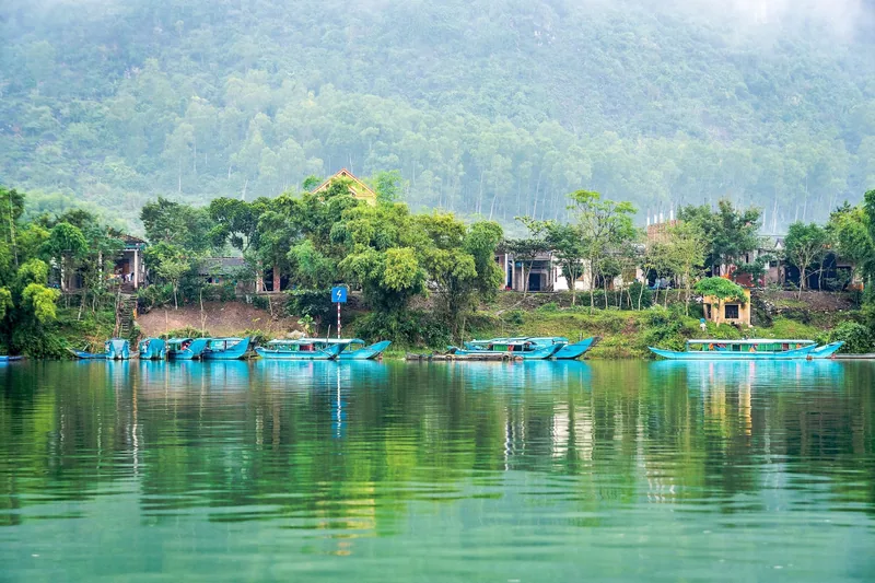
Destinations
Destinations
Guides to the four regions our tours ride and paddle through.
View this journey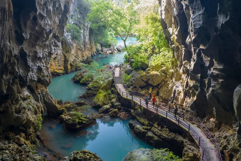
Plan · Seasons
When to go
A 12-month riding and paddling chart for each region, built from WMO climate data.
View this journey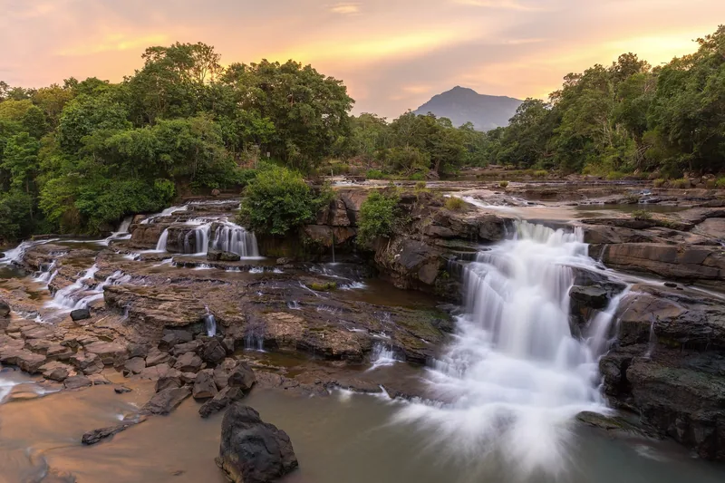
Plan · Grades
Difficulty grades
The four-step grade scale behind every tour, with a self-check you can do at home.
View this journey
Example journey
Mekong Delta to Angkor, 9 days
Nine days riding flat delta lanes into Cambodia, ending at Angkor, Grade 3.
View this journey
Plan · Safety
Safety
The rules we run every tour by: van, helmets, buoyancy aids, heat, weather and insurance.
View this journey
Start planning
Tell us about the trip you have in mind
Dates, party size and the grade you are comfortable with are enough to start. You get a draft route with daily distances and a quote for that route, not a brochure.